Highland and Canyon
Altitude & Climate
The high plains of Pinos in eastern Zacatecas sit at 2,394 meters. Tlaltenango in the south, by contrast, lies at around 1,900 meters, nestled between mountains and canyons. On average, the entire state sits above 2,200 meters. This difference in elevation explains why the region's two agaves ripen so differently.
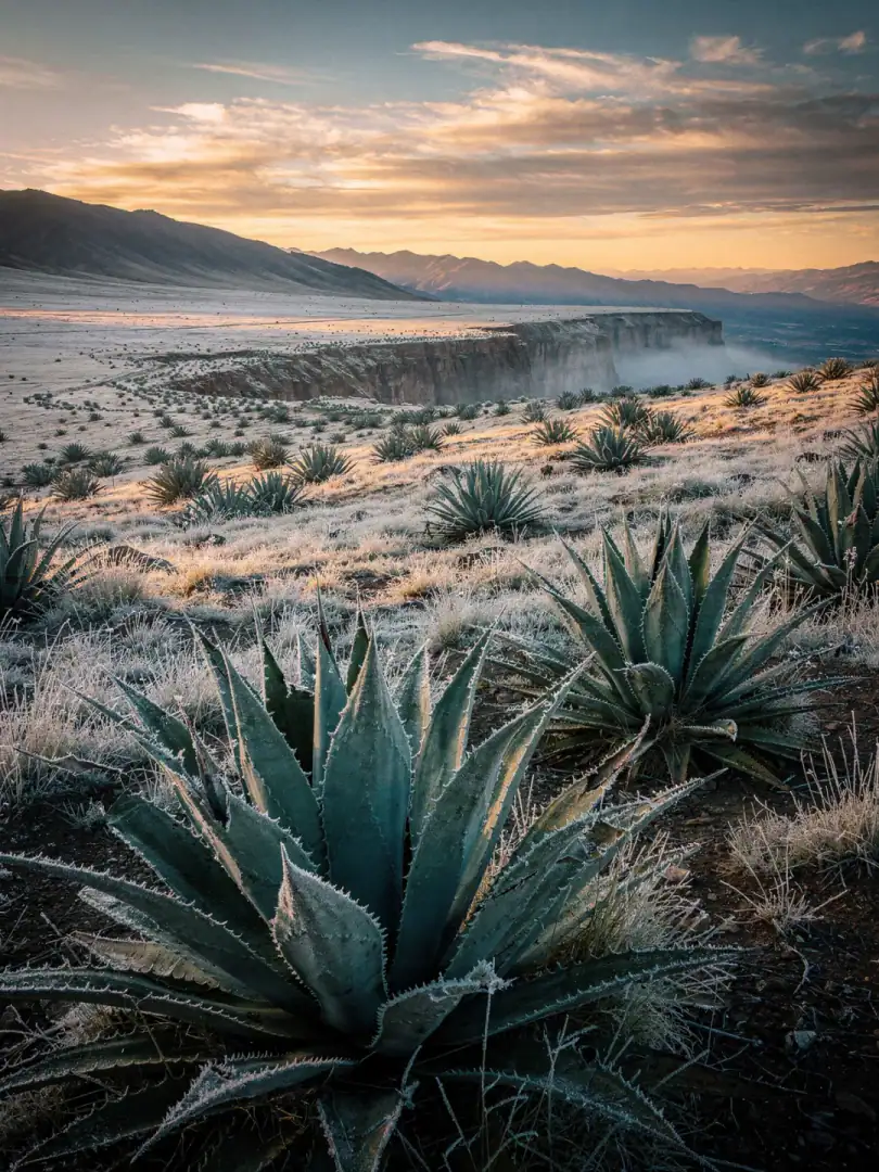
Zacatecas lies almost entirely on the Meseta Central, Mexico's central highland plateau. Despite its proximity to the tropics, the climate stays temperate and dry because the altitude tempers the heat. Summers are warm and slightly humid. Winters, by contrast, are cold and dry, with frost regularly setting in from November to March, even in the lower canyons of the south.
In the south, in the sheltered valleys around Teúl de González Ortega and Huitzila, the lower elevation softens the frost somewhat. Agave azul grows there under conditions similar to neighboring Jalisco. Warm days and cool nights let the piña slowly store sugar, which later gives it its characteristic sweetness when cooked.
In Pinos, however, the altitude hits full force. Cold, often frosty nights and a long dry season force Agave salmiana to grow even more slowly than its southern relative. What it loses in growth speed, it gains in aroma. Mezcal from Pinos is considered earthier and herbier. You can literally see these years on the plant, in thick, tough leaves rather than fast green growth.