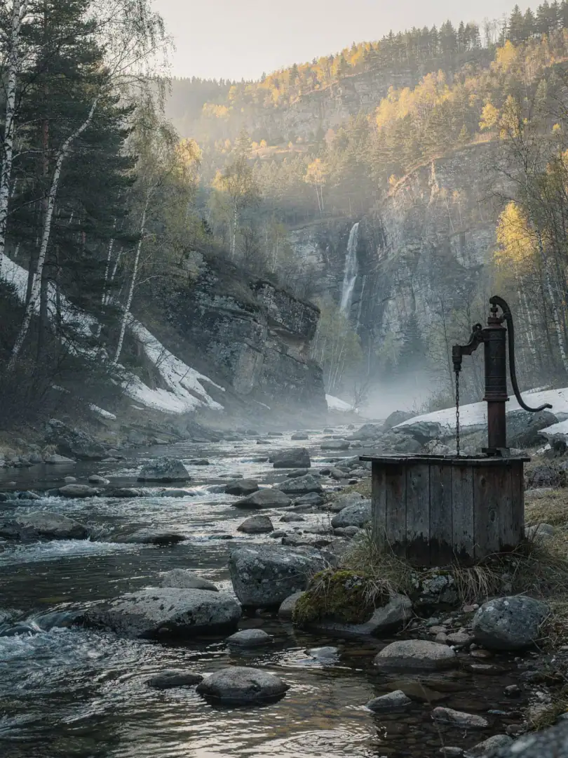
Kama & Ural Sources
Water & Climate
Deep beneath Tatspirtprom's two alcohol plants in Ussady and Mamadysh lies the water that shapes the spirit. Dedicated artesian wells feed production, not the nearby river, even though Kazan sits just a few kilometers from where the Kama meets the Volga.
Further east, in Bashkortostan, the water comes literally from the Urals. The Belaya River, known in Bashkir as the Agidel, rises in the southern foothills of the mountains. It flows through Ufa before eventually joining the Kama. Its source water is soft and low in minerals, a contrast to the harder, lime-rich groundwater further west in Tatarstan.
Cold, often snowy winters with temperatures dropping below minus twenty degrees Celsius, and short, warm summers define the climate between the Volga and the Urals. That brevity makes the harvest a gamble. In the drought summer of 2010, grain withered across huge swaths of Russia, including the Volga republics. The effects on harvests and prices lingered for years afterward.
For the distilleries, what matters most is the water beneath the surface, not summer rainfall. Spring snowmelt replenishes the aquifers over months, and the wells draw from them. That makes the water supply more stable than the harvest itself, as long as winter brings enough snow.
Mordovia lies off the beaten path of the Volga and Kama, along the smaller rivers Moksha and Sura. Its water is softer than that of the larger rivers further west. It's a distinct character that the distillery in Saransk draws on for its products.