Tierra Caliente
Altitude & Climate
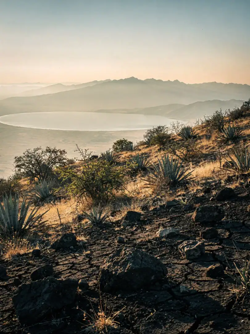
On the drive from Morelia toward Tzitzio, the climate changes before the first town sign appears. The air grows drier, the sun sharper, the vegetation lower. The road leads from the temperate highlands around Lake Cuitzeo, which sits at about 1,800 meters, down into the hot Tierra Caliente, where the wild agaves grow.
Agave cupreata and Agave inaequidens thrive at altitudes between 1,200 and 1,800 meters, on slopes with stony, well-draining soil. The rainy season lasts from June to October, followed by months with almost no rainfall. For the agave, that means: grow when there's water, and endure when there isn't.
Frost is hardly an issue at the lower elevations around Etúcuaro, though it occasionally occurs in the higher foothills near Morelia. The heat of the Tierra Caliente, by contrast, stays constant through much of the year, testing every plant that tries to survive there.
For the agave, this cycle of drought stress and brief, intense downpours means growing slowly while storing all the more sugar in its core, the piña. Over eight to twelve years of maturation, aromas accumulate that a faster-growing field could never reach. Most taberneros therefore harvest during the dry season, when sugar content peaks and the leaves have already begun to sag.
Lake Cuitzeo only moderates the climate in its immediate surroundings, barely reaching down into the Tierra Caliente, where the tabernas stand. There, heat and drought dictate the rhythm of the harvest far more than the nearby water. It's precisely this slowness that gives wild Michoacán agave its dense, earthy flavor.