Salt Wind and Drought
Altitude & Climate
On average, Zapotitlán Salinas sits 1,500 meters above sea level. The municipality's territory, though, ranges from 1,200 up to 2,500 meters. Caltepec lies at a comparable altitude right next door.
This location turns the valley into a rain shadow. Moist winds from the Gulf of Mexico pile up against the Sierra Madre Oriental and release their rain there. On the other side, they arrive only as dry air. Zapotitlán Salinas and Caltepec see almost none of this rain.
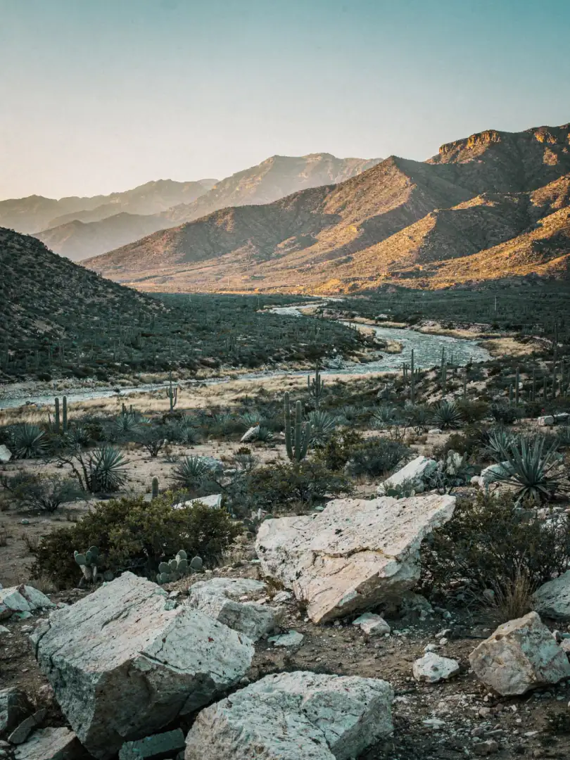
The average annual temperature ranges between 18 and 20 degrees Celsius. In the lower elevations it gets noticeably warmer, while at higher altitudes it turns sharply cooler, especially at night. Amid succulent scrubland, chaparral, and scattered oak forests in the southwest, hardly anything grows that can't manage with little water. Only in the middle part of the valley do mesquite shrubs still hold on.
For the agave, that means growth in slow motion. Where rain rarely falls and the sun blazes nearly year-round, the plant stores sugar in its heart over years. Rather than shooting up quickly, it waits. That makes the yield per piña smaller, but the resulting Mezcal more intense.
Anyone driving through this valley will see little lush green. The landscape of candelabra cacti, thornbush, and gray rock looks barren at first glance. It's exactly this harshness that Papalometl and Pitzometl need in order to ripen slowly and with concentration.